Easy Street Basin
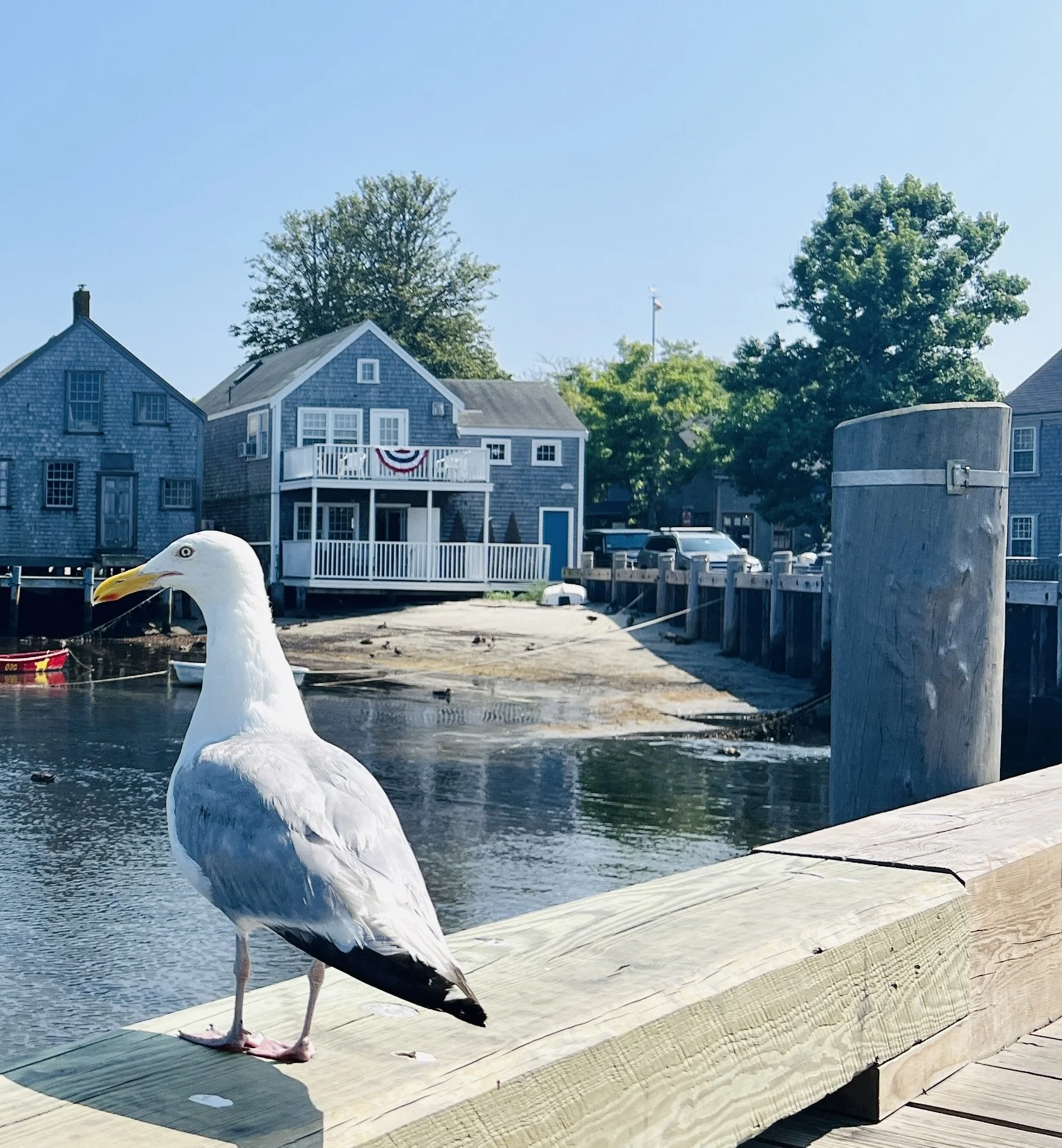
This former marsh was filled and fortified with bulkheads to accommodate Nantucket’s rapidly growing whaling industry. Today, this waterfront Land Bank park features an array of water tolerant plants and is among the most iconic and photographed locations on Nantucket.
Photo by Will Kinsella
Past
-
![]()
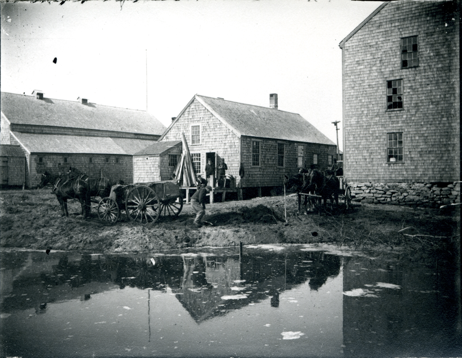
Rebuilding the Shoreline
Houses, unidentified men, and horse-drawn cart at the edge of the Easy Street boat basin, 1897. (Courtesy of the Nantucket Historical Association)
-
![]()
Dumping Fill
Houses, unidentified men, and horse-drawn cart dumping fill at the edge of the Easy Street boat basin. (Courtesy of the Nantucket Historical Association)
-
![]()
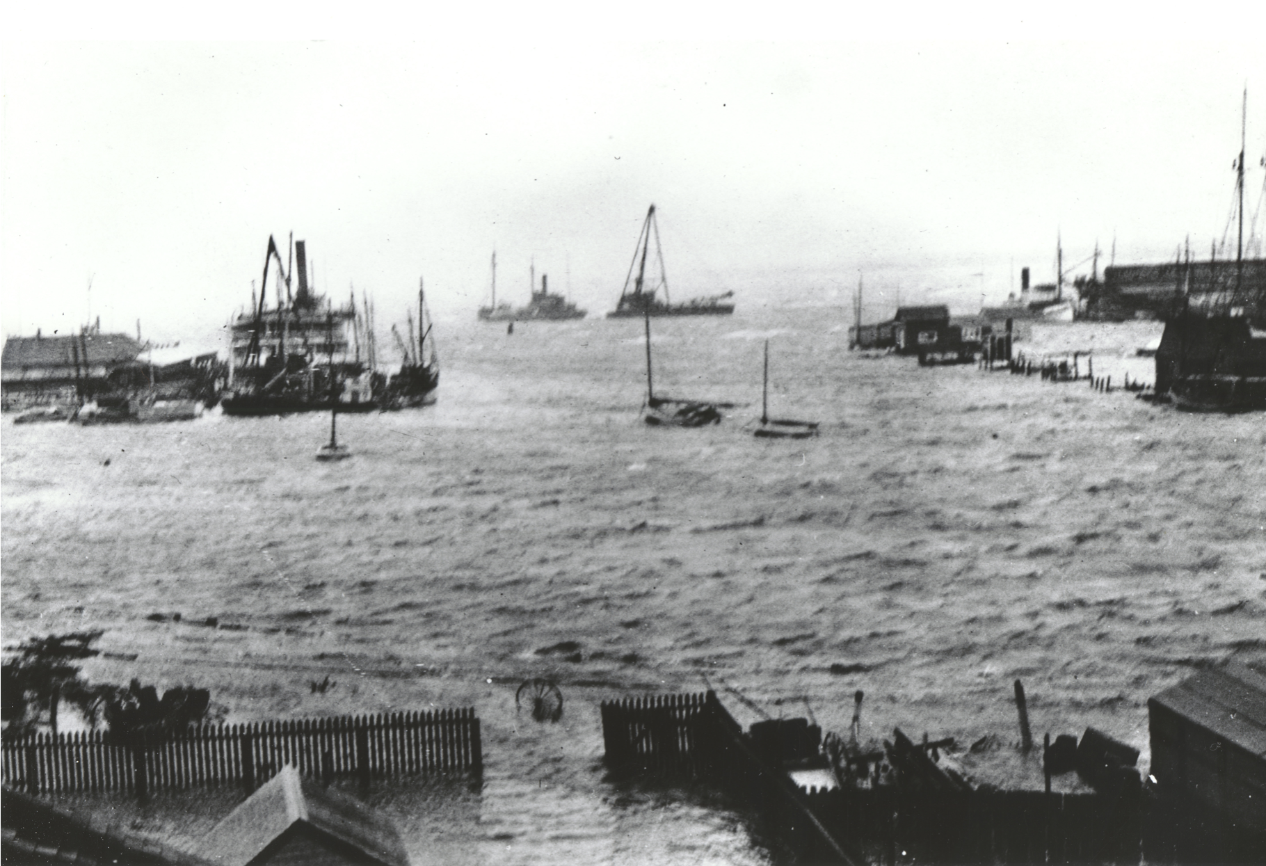
Safe Harbor
Postcard image of the Easy Street boat basin full of fishing fleet boats gathered for protection escaping the storm on 1917. Lumber Mill to the right of the image. On back in pencil the following is written: Waltham News. Black measure #745, fishing fleet 1917 in to escape storm. (Courtesy of the Nantucket Historical Association)
-
![]()
Flooded Basin
Easy Street boat basin flooded, showing Easy Street and Old North Wharf under water. (Courtesy of the Nantucket Historical Association)
-
![]()
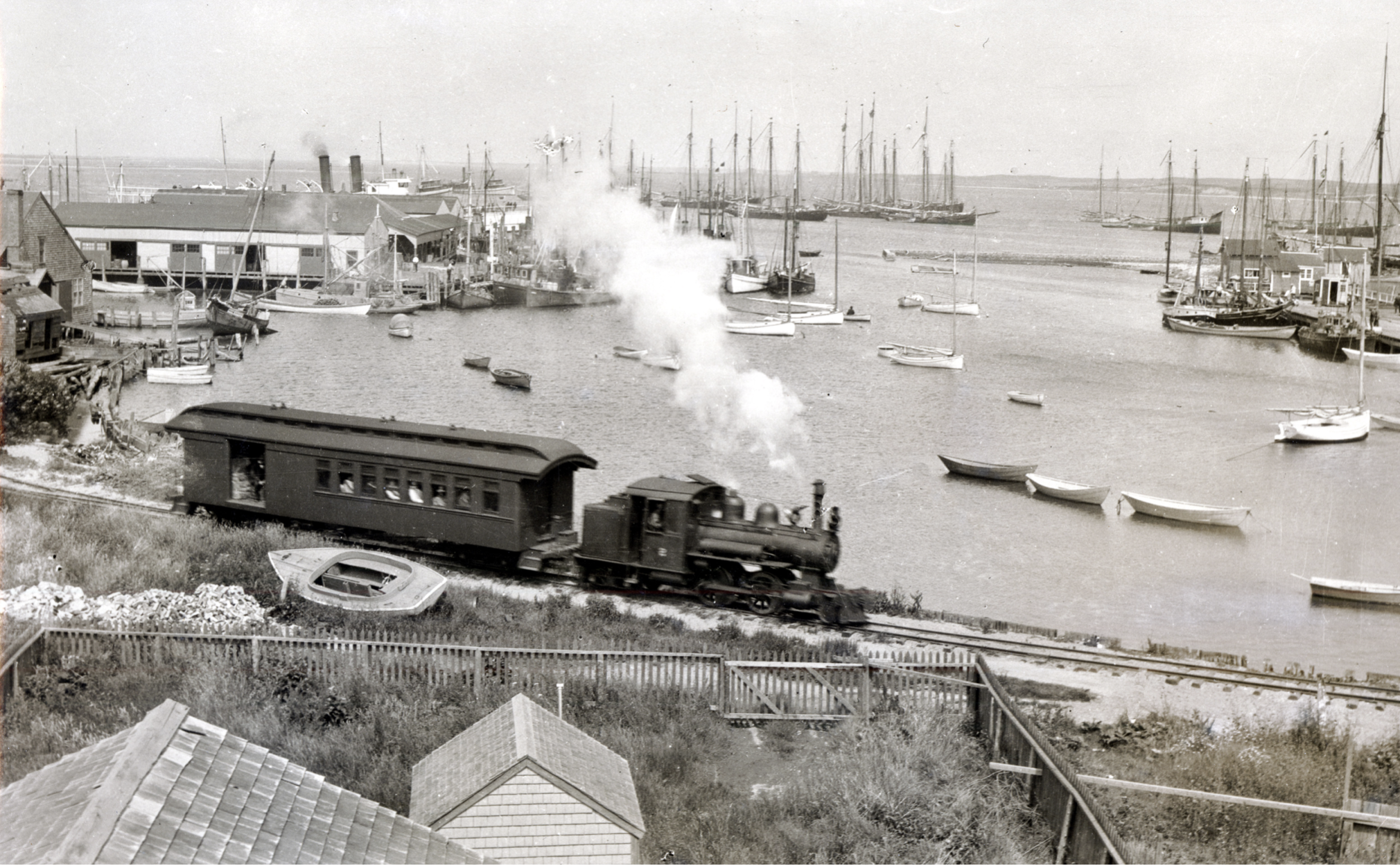
Alternative Transportation
View of Nantucket Harbor looking over Easy Street with Old North Wharf to the right and Steamboat Wharf to the left. Nantucket Railroad Locomotive No. 2 and a rail car pass along Easy Street. The steamer Sankaty and many fishing trawlers are tied up at Steamboat Wharf. Numerous fishing shacks lie at anchor in the harbor. Catboats, dories, and row boats fill the scene. (Courtesy of the Nantucket Historical Association)
-
![]()
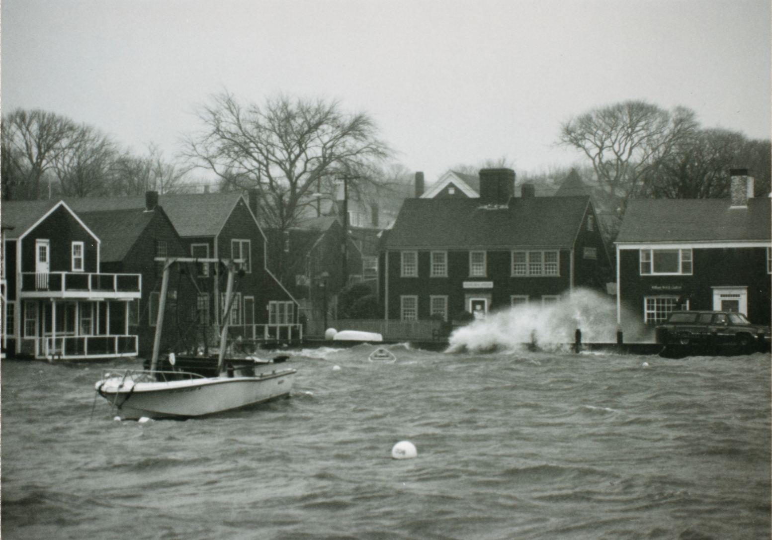
Winter Storm
Photograph taken during a storm in the winter of 1992. (Courtesy of the Nantucket Historical Association)
Present
-
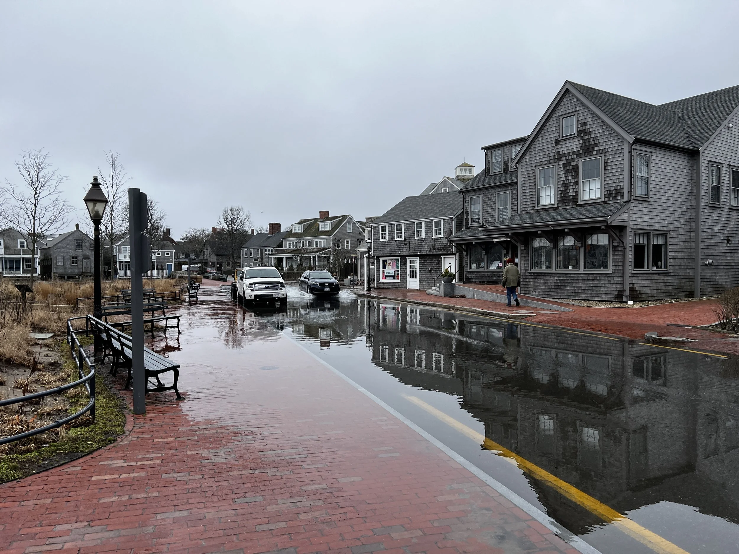
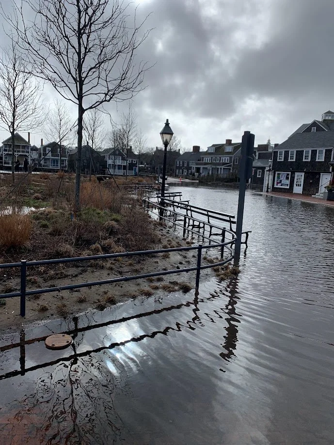
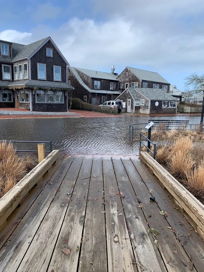
Nuisance Flooding
Easy Street is a critical route for goods and services (fuel, food, building materials, persons, equipment etc.) going to the Steamship Authority terminal and lower Broad Street. Easy Street Nuisance Flooding (flooding that leads to public inconveniences, such as road closures, overwhelmed storm drains, and deterioration of public infrastructure such as roads) of 25-35 times/year was first recorded in 2005 and more consistently seen starting in 2010 and has increased to 50+ times/year in 2021. (Photo by Will Kinsella)
-
![]()
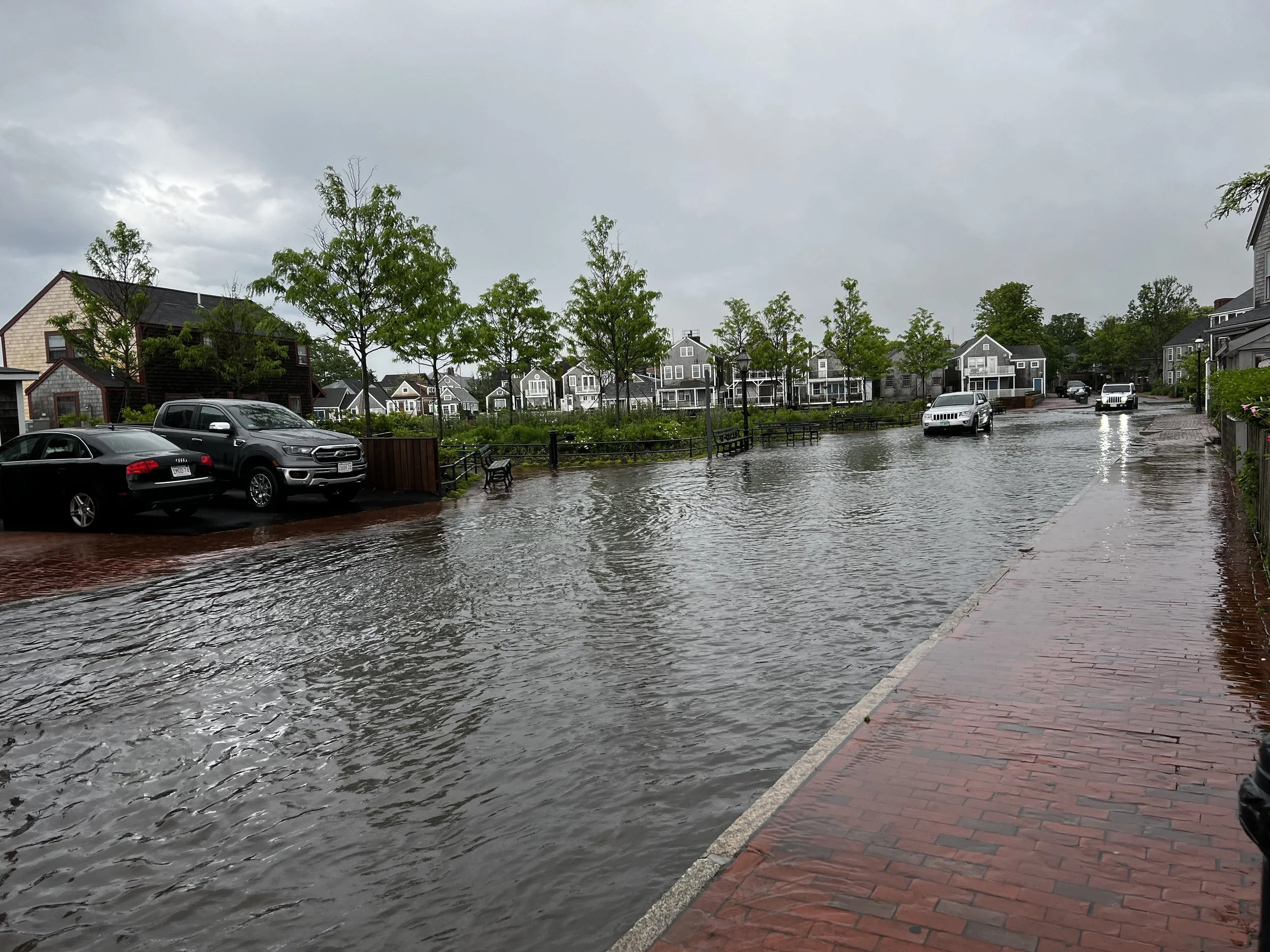
Heavy Precipitation
Climate change projections for Massachusetts indicate that precipitation (including both rainfall and snowfall) patterns are changing, and more significant changes in the amount, frequency, and timing of precipitation in future years are anticipated. Hotter air holds more water vapor than colder air. For every 1 degree Celsius of warming (how much we've warmed the earth so far on average), the atmosphere can hold about 7% more moisture. The Northeastern United States has experienced the most dramatic increases in precipitation intensity. Increases in total rainfall and rainfall intensity can impact the frequency of flooding events, especially in areas where stormwater and drainage infrastructure has not been adequately designed to manage the increased flows. After a summer storm-June 13, 2022. (Photo by Will Kinsella)
-
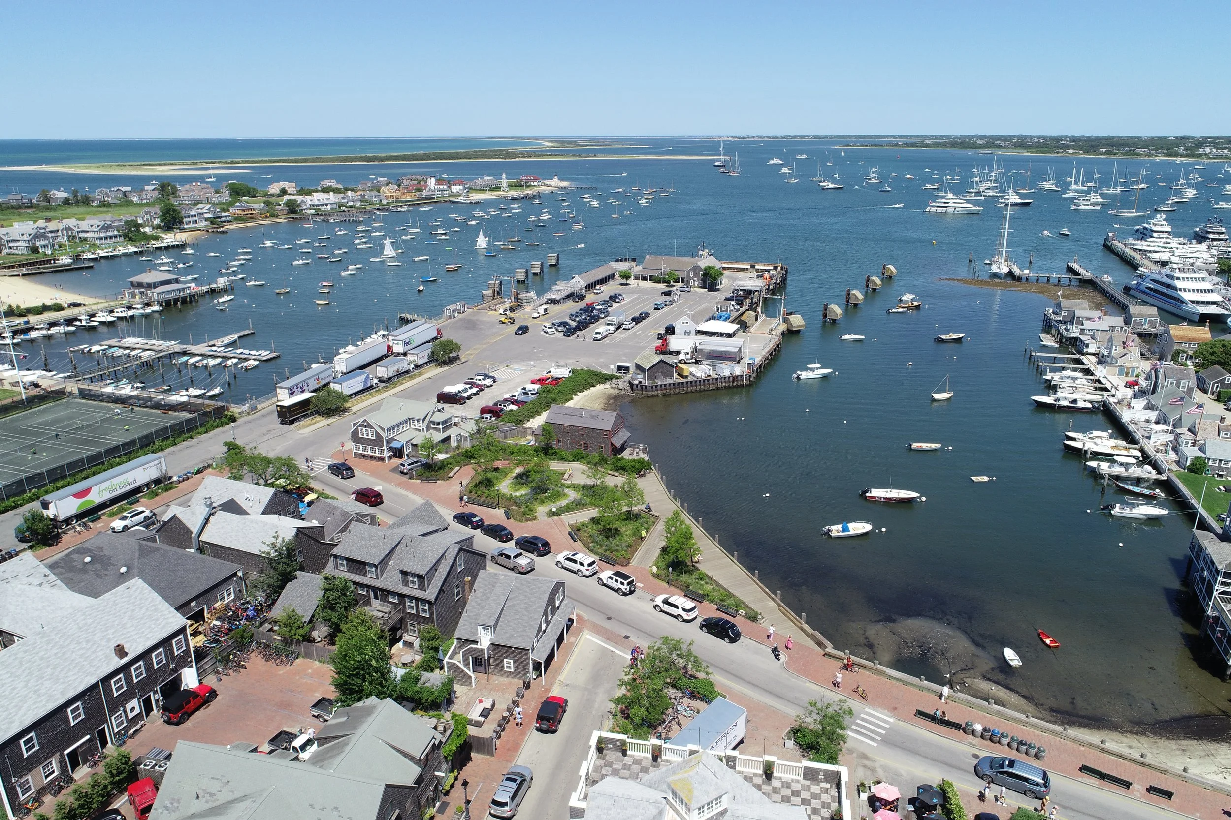
Pocket Park
Acquiring large parcels for new parks is difficult or expensive in many cities. Innovative strategies can be used in a sites-to-systems approach that optimizes the use of small parcels, green infrastructure, and green streets to provide nature-based human health benefits. Easy Street Basin birds eye view. Image courtesy of Nantucket Land Bank.
-
![]()
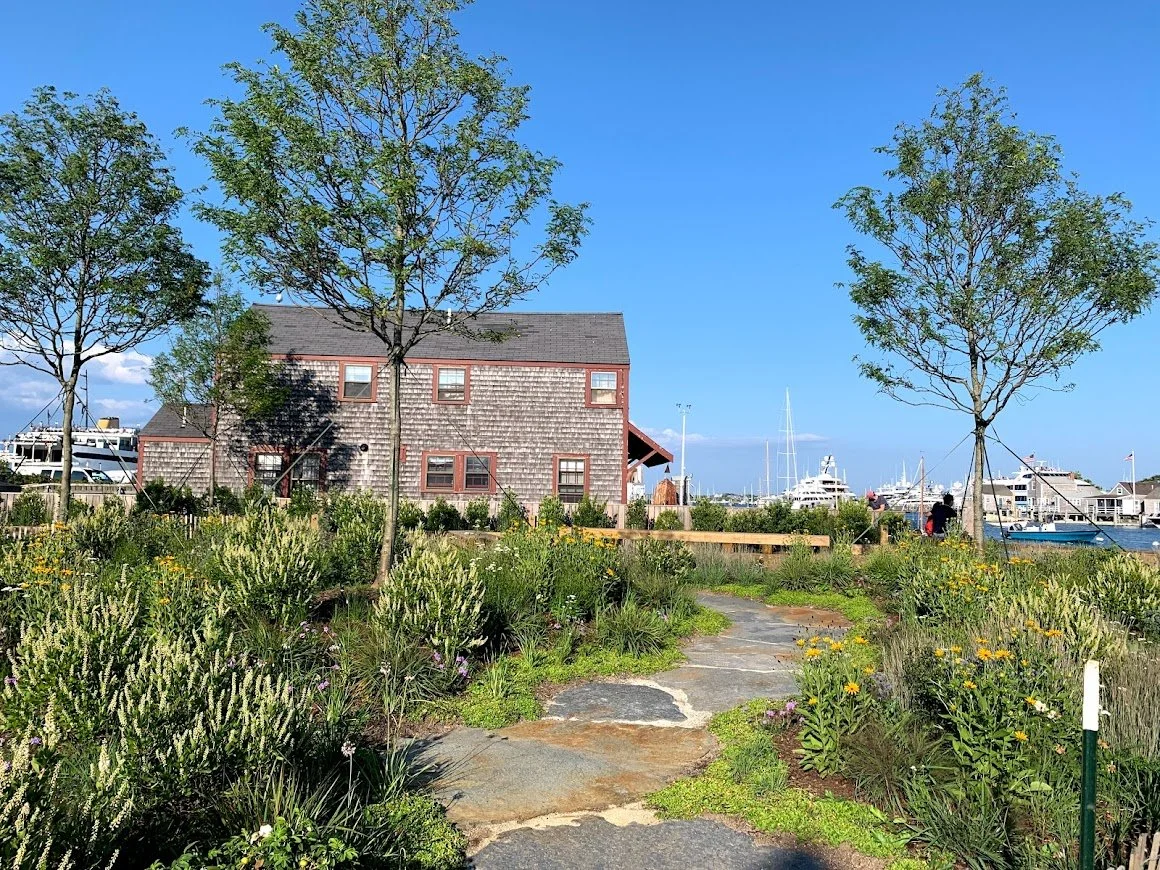
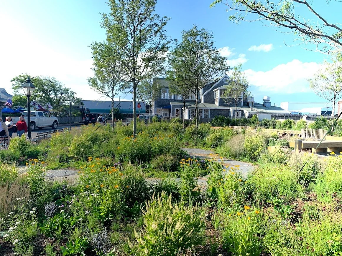
Flood Resistant Plantings
By having an area with grass, gardens, or trees, this space can help to support the ecology while conserving the wildlife and providing a convenient destination for recreation. The Nantucket Islands Land Bank is a land conservation program created to acquire, hold, and manage important open spaces and endangered landscapes for the use and enjoyment of the general public. Easy Street Basin. Image courtesy of Nantucket Land Bank.
-
![]()
Winter Flooding
The Land Bank’s Easy Street Park showcases Nantucket’s adaptability to the impacts of climate change. This floodable park, designed by Michael Van Valkenburgh, Inc., contains a variety of features that accommodate both saltwater and freshwater. Courtesy of the Nantucket Land Bank.
-
![]()
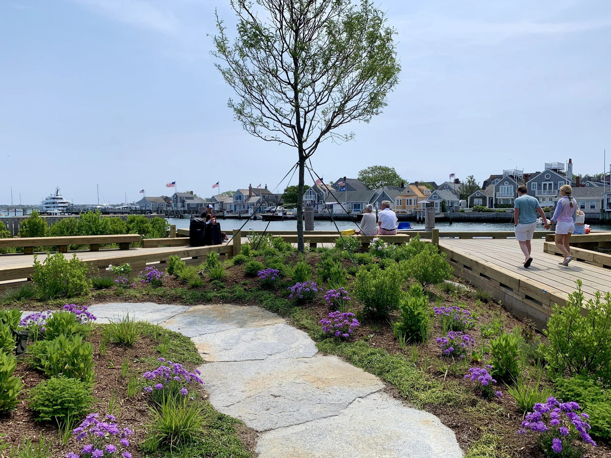
A Showcase for Native Plants
Mounded garden beds rest atop a layer of sand, which expedites the drainage of residual flood waters. These raised plots contain native and flood-tolerant vegetation, which has the capacity to withstand coastal weather events and provide a pocket of wildlife habitat in the heavily developed downtown area. Courtesy of the Nantucket Land Bank.
-
![]()
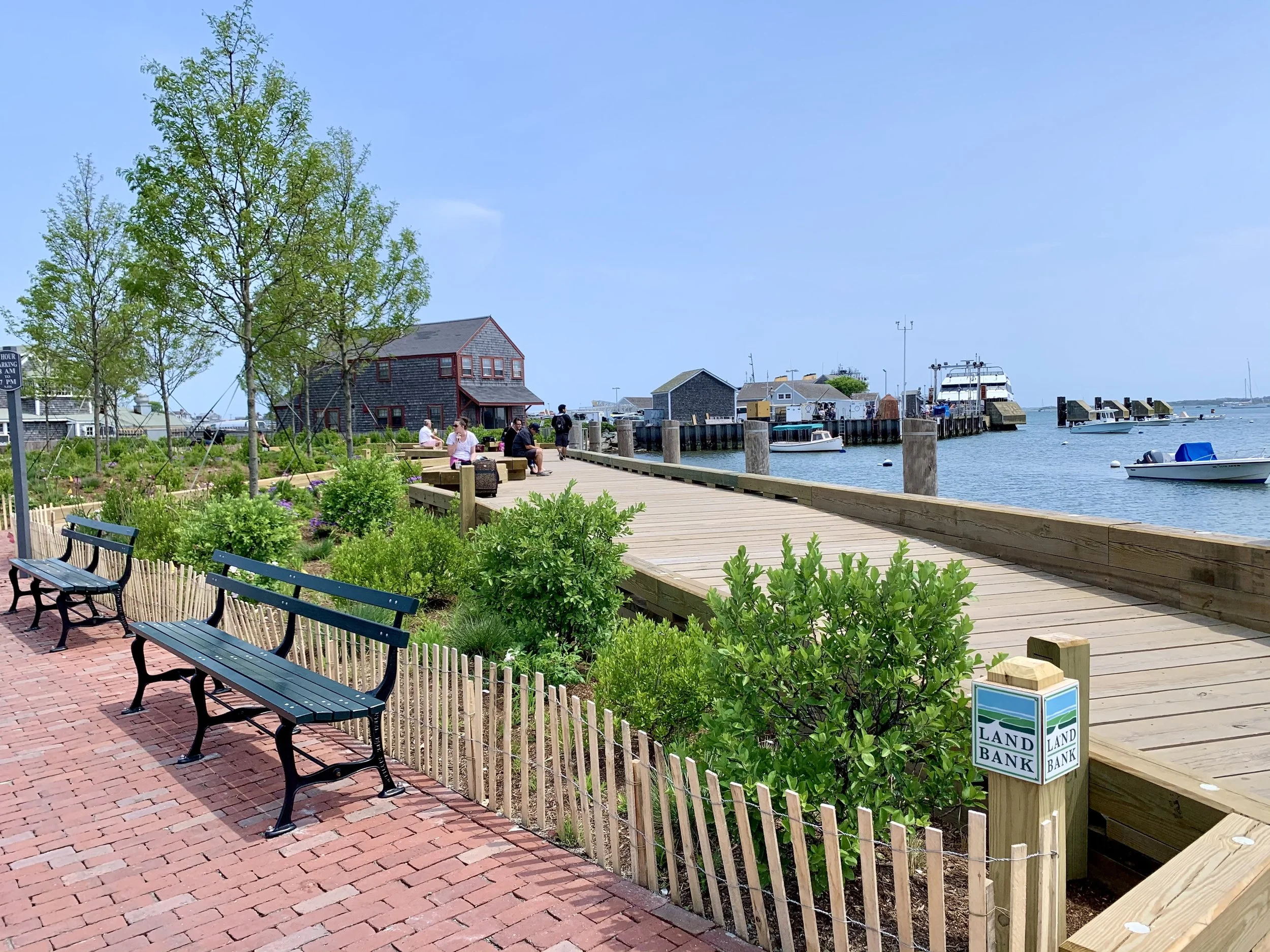
Flood Resistance
The raised boardwalk provides space beneath for water retention during substantial rain events, storm surge, or high tide flooding. Courtesy of the Nantucket Land Bank.
-
![]()
An Accessible Shoreline
Waterfront seating allows visitors to take in all these features showcased within the small park. Image courtesy of Nantucket Land Bank.
-
![]()
Open Space for Public Enjoyment
The first program of its kind in the United States, the Nantucket Islands Land Bank was conceived by Nantucket’s Planning Commission, adopted by the voters of Nantucket, and established by a special act of the Massachusetts Legislature in 1983. Easy Street Park. Image courtesy of Nantucket Land Bank.
-
![]()
Nuisance Flooding
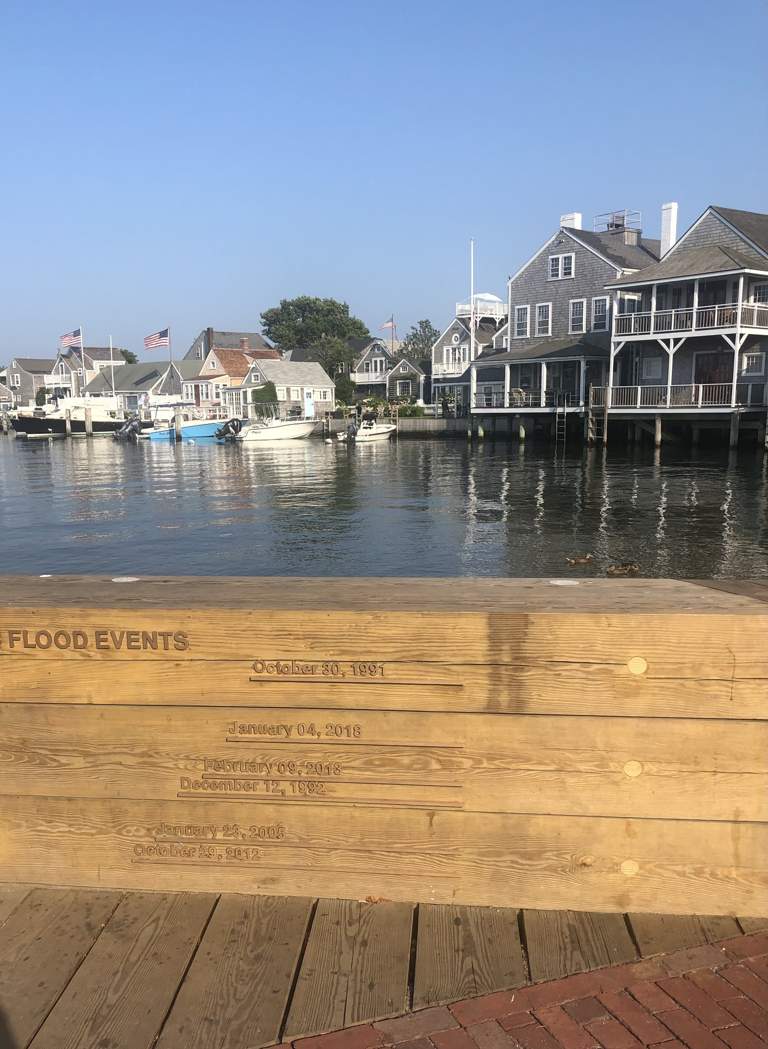
Many of these recent flooding events are non-storm related and are considered sunny-day flooding or nuisance flooding. Courtesy of Nantucket Land Bank.
-
![]()
An Elevated Bulkhead
The Easy Street Bulkhead was rebuilt in 2017 to provide additional protection to the sidewalk and roadway. The new timber cap is at elevation 5.0 ft. MHHW and designed as a wave attenuation wall to protect the street, vehicles and property from damaging waves during storms. (Photo by Theo Kinsella)
-
![]()
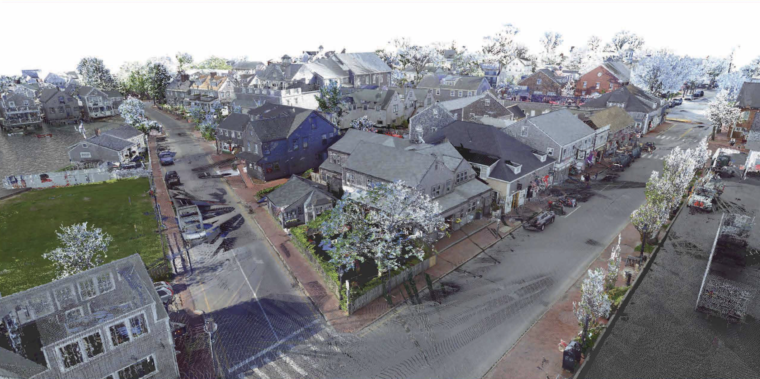
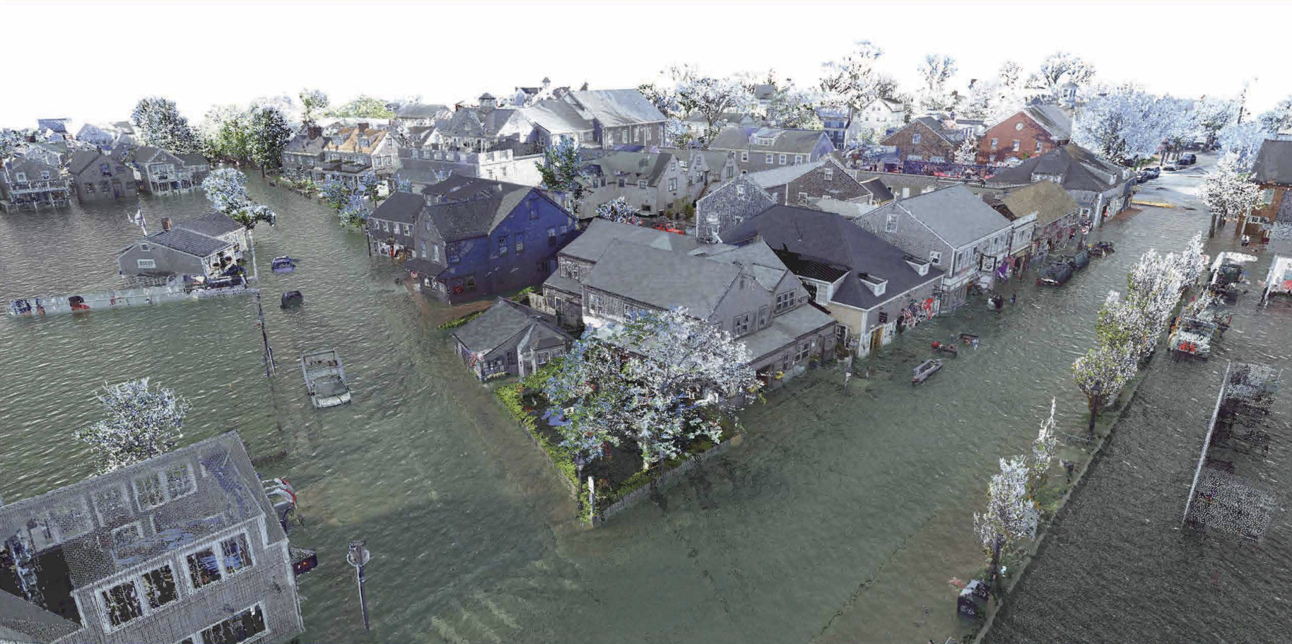
LIDAR 3D Recreation
2019 Conditions. Using LIDAR 3D scanners and NOAA flood projections, the University of Florida's Preservation Institute Nantucket has been able to provide visualizations of sea level rise projections against precise building elevation measurements. (Image Courtesy of University of Florida Preservation Institute Nantucket)
Future(s)
These conceptual renderings are illustrative of potential long-term resilience strategies and do not represent final designs or near-term recommendations. These are presented to help inform community discussions about long-term adaptation.
The future remains up to us.
-
![]()
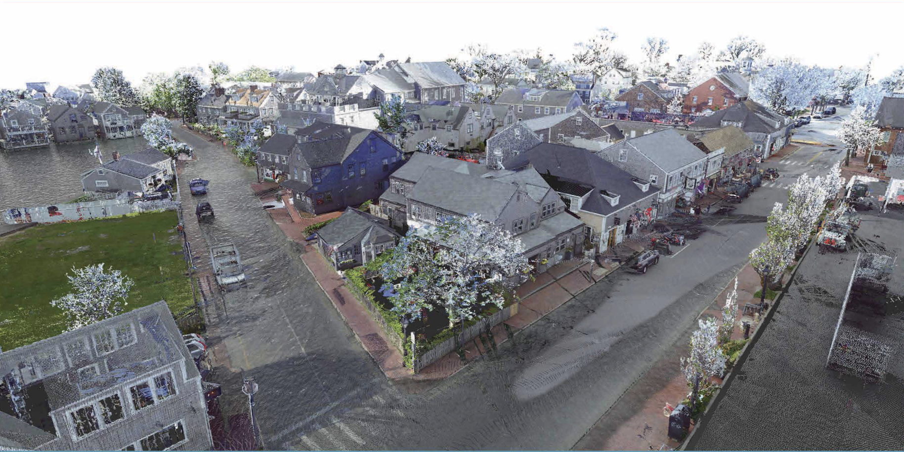
2040 estimated 3.25' sea level rise projections
2019 NOAA Intermediate-High scenarios predicted 3.25' sea level rise projections (above NAVD88) for the year 2040. Using LIDAR 3D scanners and NOAA flood projections, the University of Florida's Preservation Institute Nantucket has been able to provide visualizations of sea level rise projections against precise building elevation measurements. (Image Courtesy of University of Florida Preservation Institute Nantucket)
-
![]()
2080 estimated 6.14' sea level rise projections
2019 NOAA Intermediate-High scenarios predicted 6.14’ sea level rise projections (above NAVD88) for the year 2060. Using LIDAR 3D scanners and NOAA flood projections, the University of Florida's Preservation Institute Nantucket has been able to provide visualizations of sea level rise projections against precise building elevation measurements. (Image Courtesy of University of Florida Preservation Institute Nantucket)
-
![]()
2100 estimated 8.04' sea level rise projections
2019 NOAA Intermediate-High scenarios predicted 8.04' sea level rise projections (above NAVD88) for the year 2100. using LIDAR 3D scanners and NOAA flood projections, the University of Florida's Preservation Institute Nantucket has been able to provide visualizations of sea level rise projections against precise building elevation measurements. (Image Courtesy of University of Florida Preservation Institute Nantucket)
